Hiking near Reykjavik on Mount Esja
I have a close bond with Mountain Esja. I have always dreamed of living in a city with a mountain view. With the ever-changing snow and cloud patterns around the top, Esja shows a new face every day, making the view from Reykjavík so picturesque and special.
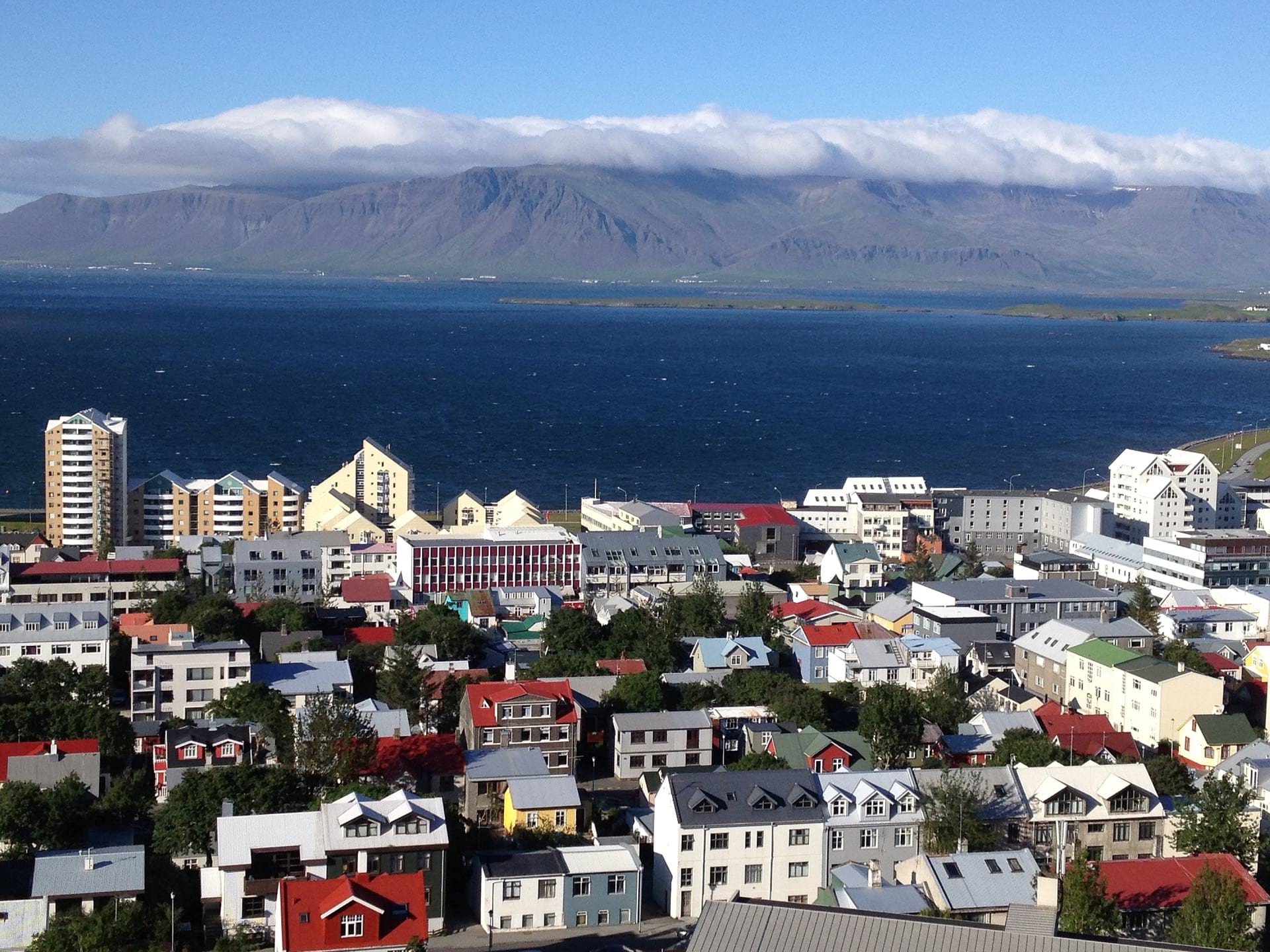
One of the most precious virtues of Esja is its location. Situated only 15km from Reykjavík and looking highly scenic, it provides the instant opportunity of climbing an impressive mountain at anytime, even spontaneously after work. For us, urbanites with wanderlust, this is priceless but also for travellers who came only for a few days to visit Reykjavík and are looking for a venture just outside of the city.
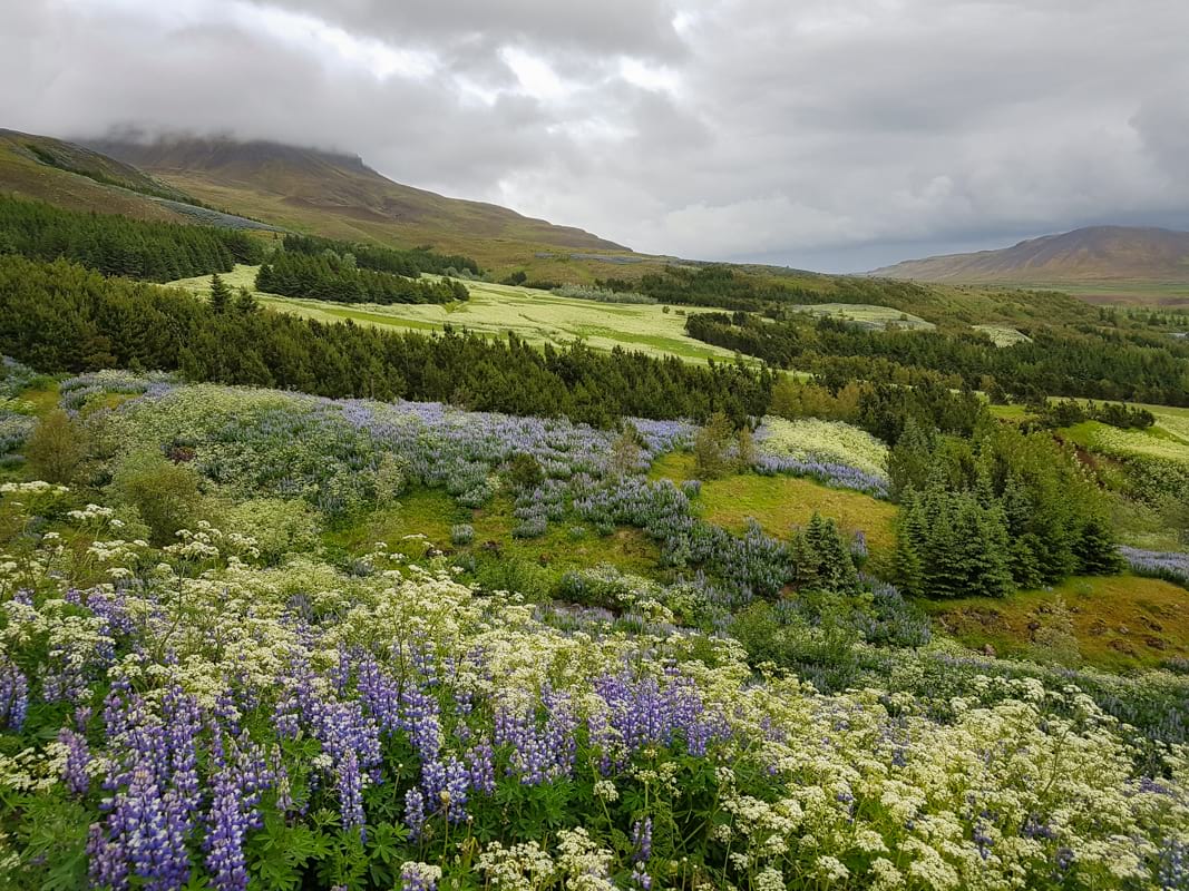
How to get to Esja by car or by bus
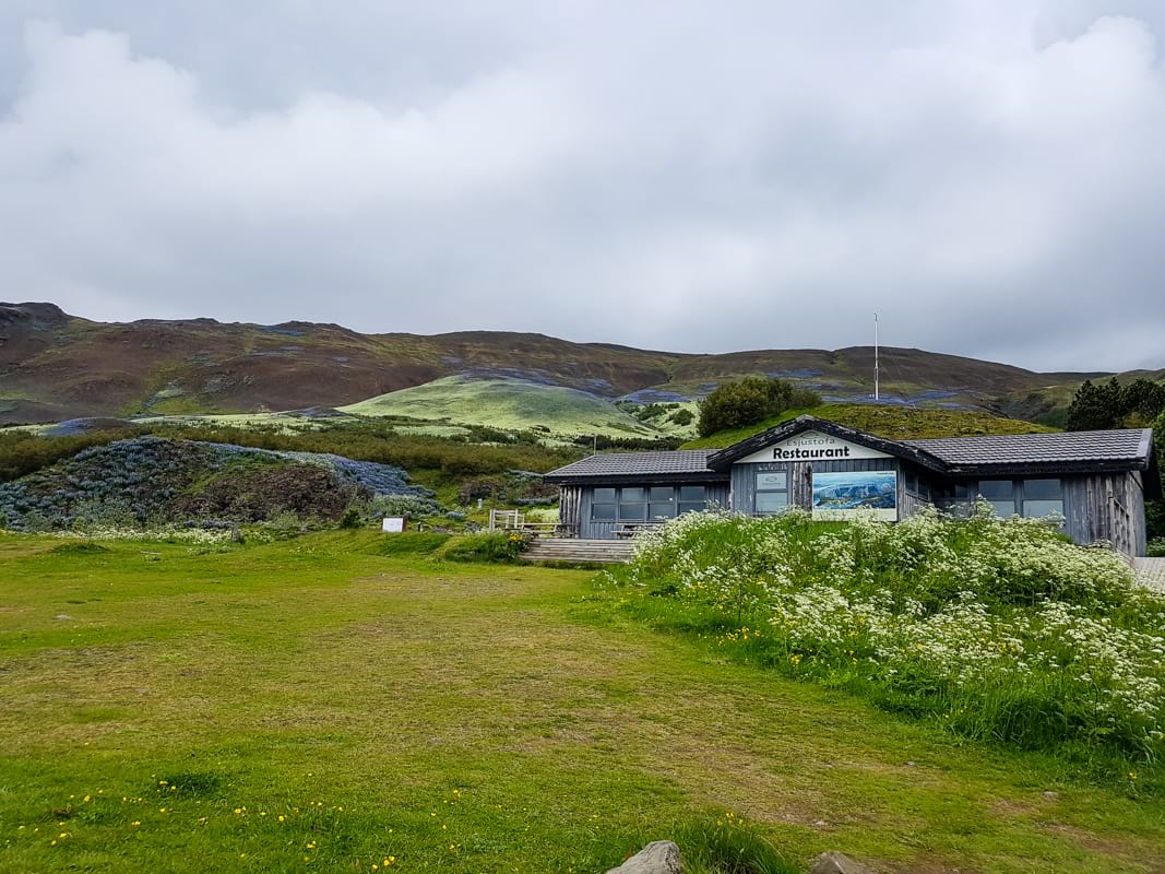
The trailhead can be easily reached from Reykjavik either by car or by public transport. Take bus number 15 from Hlemmur bus station towards Mosfellsbær. Get off in Háholt and change to bus number 57 to the Esja Hiking Centre. If you are driving get on Vesturlandsvegur (Route 49), then follow road no1. (Þjóðvegur) that leads you out of the city to a small fjord called Kollafjörður. At the northeast edge of the fjord take the exit to the right and you arrive in a large parking lot. Parking is free. There is a nice café-restaurant right beneath the slopes, (Esjustofa) the trek runs uphill from there.
Hiking routes in varied level of difficulties
Esja is not a single mountain, but a volcanic mountain range. The highest point rises 914 meters above sea level. The most popular summit is called Þverfellshorn. There are numerous hiking trails leading up to the top and around the mountain with various levels of difficulty. The paths are clearly marked and well constructed, and you will probably meet local hikers and runners here. After a short walk you come to crossroads where the path splits into two. The sign gives you guidelines on the hiking trails and on the difficulty of each path.
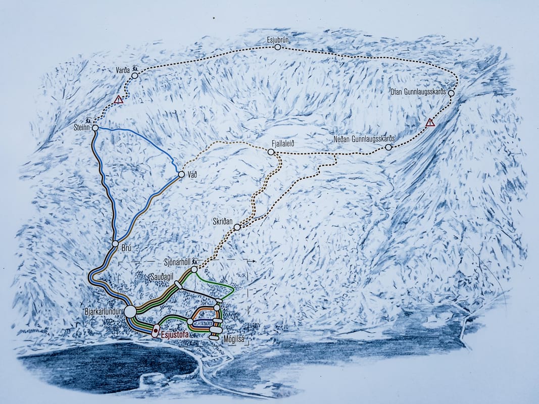
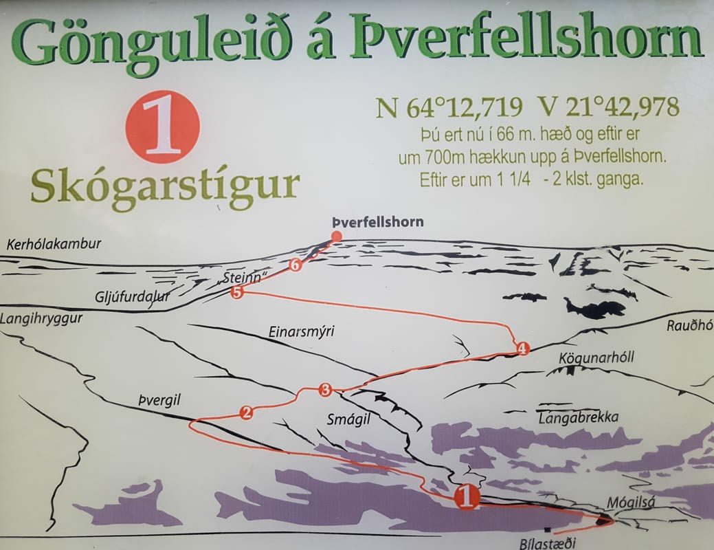
By choosing the path to the right you will take the most popular path that is approximately 8 kilometers long and leads you to a point called Steinn (stone in Icelandic). This is the “official” Esja trail, leading through a nice, tiny forest. It is less steep and friendlier than the other trail. It also links with other walking routes of varying difficulty. In good weather it is absolutely suitable for children.
If you prefer a more challenging hike, or just a shorter version, choose the left path at the crossroads. It is quite steep, but after 2,5 kilometers you will reach Steinn where the two paths unite at an altitude of 597m.
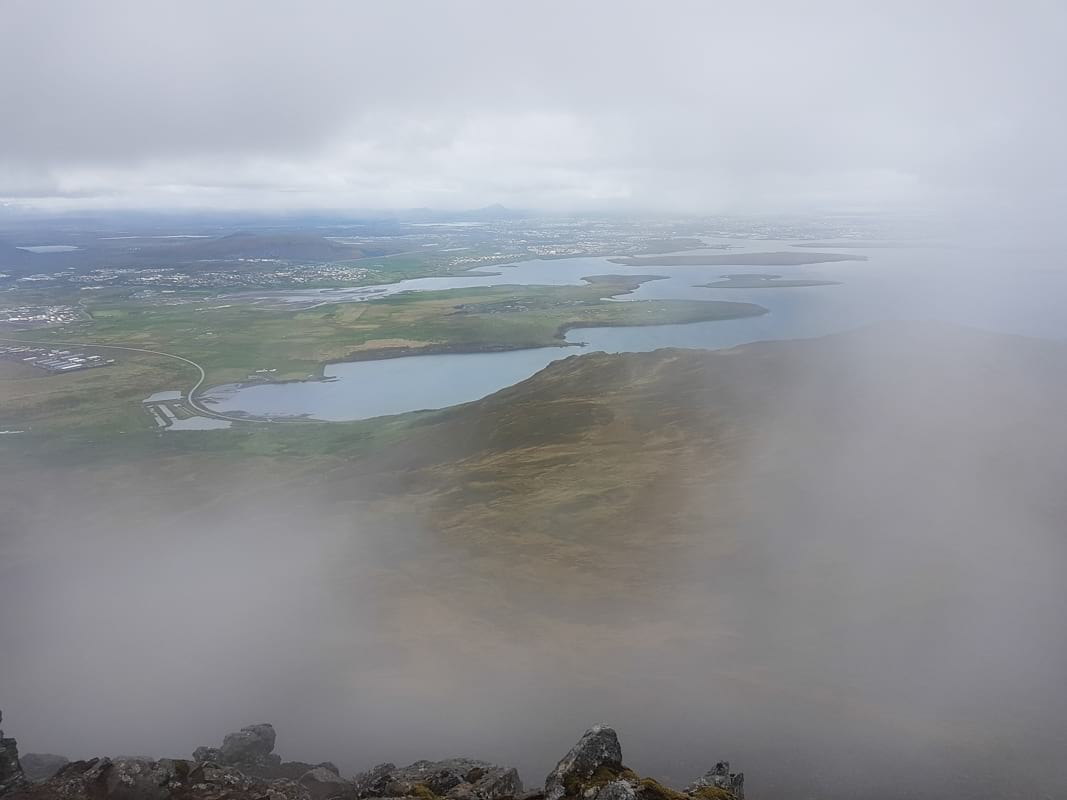
Climbing up to the top of Esja
The view from the top is absolutely spectacular. In clear weather you will see the scenic fjord and the aquamarine blue ocean bay with its small islands, Reykjavík city and the numerous mountains around. You can sign the guestbook, proving that you were here. This is the point where most hikers take a rest and turn back. Only experienced hikers are recommended to continue to the top.
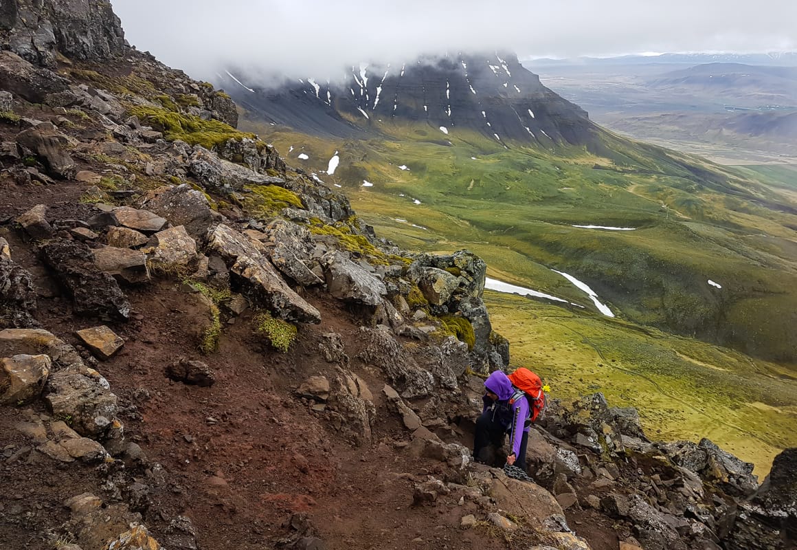
The higher you climb, the path becomes increasingly more difficult and dangerous. The top is quite often covered by thick clouds, so the visual conditions can change rapidly. Steel chains help you to get through some of the more difficult parts, but the terrain can be very challenging and unsafe for an inexperienced or poorly equipped hiker. However, for those who are comfortable with mountain terrain and have proper gear this path can be extremely fun: exposed cliffs with breathtaking panorama, an easy climb with good secured edges. After approximately 200 meters you will reach the Varða (lit.:rock pile) at an altitude of 780m. There is another guestbook here that you can sign, however, it is still not the highest point of the mountain.
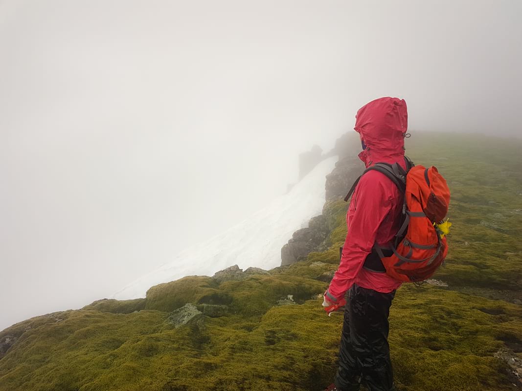
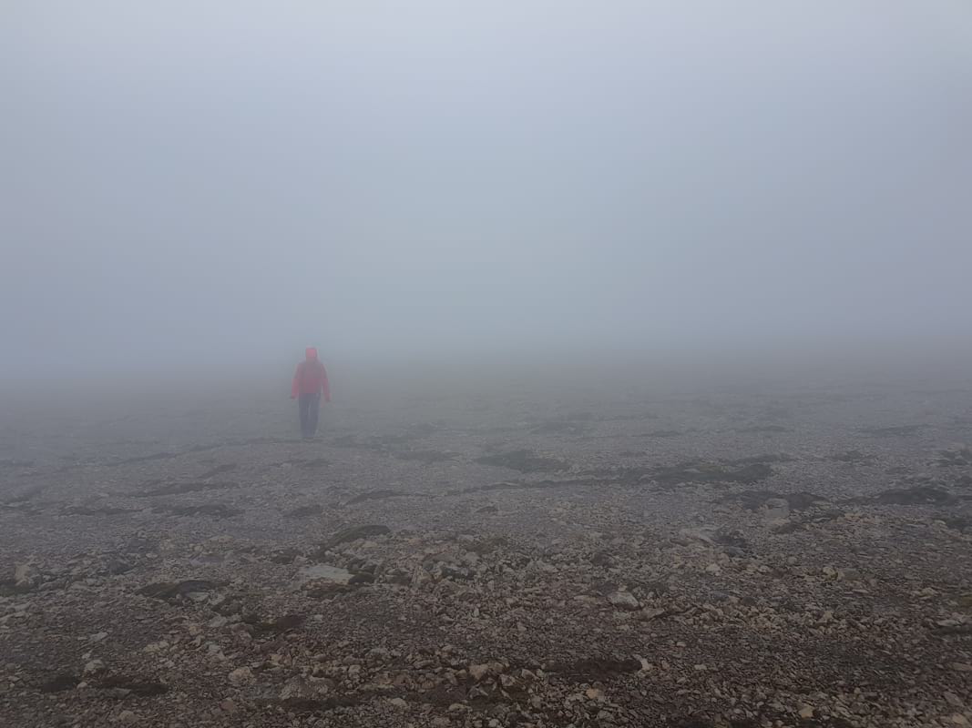
The peak at the summit rests at 914m and is called Hábunga (lit.: highest hill) and lies 3 km from here. There are no signs nor walking paths to there. The top of the Esja is a relatively flat plan plateau, without any landmarks for orientation. When it gets foggy, it is almost impossible to orientate without GPS. I would love to report on the view from here, but I could only describe the feeling to be in the belly of a thick, white cloud.
Map of the Esja hike
What will you see on the hike?
- Esja mountain range
- Þverfellshorn
- Kollafjörður fjord
- Esjustófa café
- Mógilsá
Viewpoints :
- Steinn (597m)
- Varða (780m)
- Hábunga (914m)
What do you need to bring with you?
Good, waterproof hiking boots and waterproof shell are necessary in every season. Dress in layers. You might need a compass or GPS in the area over Þverfellshorn.
Safety notes
The trail up to the Steinn is safe for children over 6-8 years. Above Steinn it is very unstable, packed with large rocks to climb, highly exposed areas. It is not recommended for children or for those who are not experienced mountain hikers or not properly equipped.
Hiking on Esja in winter
The trails are open in winter but they can be completely different. The path is icy and the weather is usually much more unpredictable. Avalanches are common so you must inform yourself about the avalanche alerts and weather forecast. You might need crampons above Steinn. The snow usually arrives in October and melts away in May. Check out this site before heading to Esja!
-20170628190553.jpg)
Mt. Esja Ultra and Marathon - not only for runners
Iceland offers some amazing and demanding races for trail runners who would like to enjoy the beautiful mountain view. Iceland’s first mountain marathon was held in June of 2017 with the total elevation gain of 3500 m on the distance of 42 km.
The Mt. Esja Ultra is held every year in June, for the sixth time in 2017. The race takes place on the longer hiking path, the distance between the parking lot and the top (7km) has to be completed eleven times. Total elevation is 6600m.
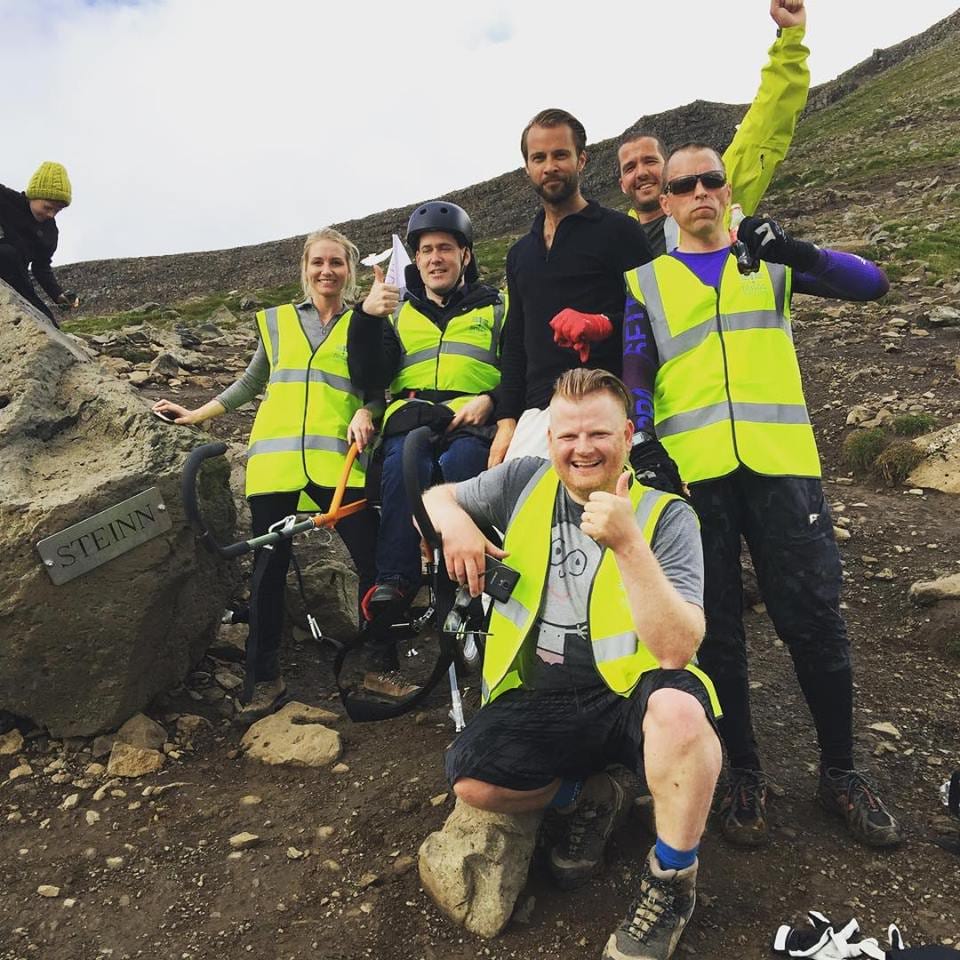
Last year hikers volunteered in a charity event called "All the way up" where the goal was to bring handicapped people along in an adventure and take them up to Steinn in a special offroad wheelchair. Einar (in black), one of the founders of GetLocal, was one of the volunteers and holds the record most trips up and down, a total of 6!
Extra tips
- If you would like to avoid the crowd during the summer, use the benefits of the midnight sun and start your hike late in the evening.
- After your hike check out this wonderful outdoor geothermal pool in Mosfellsbær!
-
Respect the nature! Do not disturb the fragile flora, do not leave any trash - not even dissolvable. Do not step on the moss.
